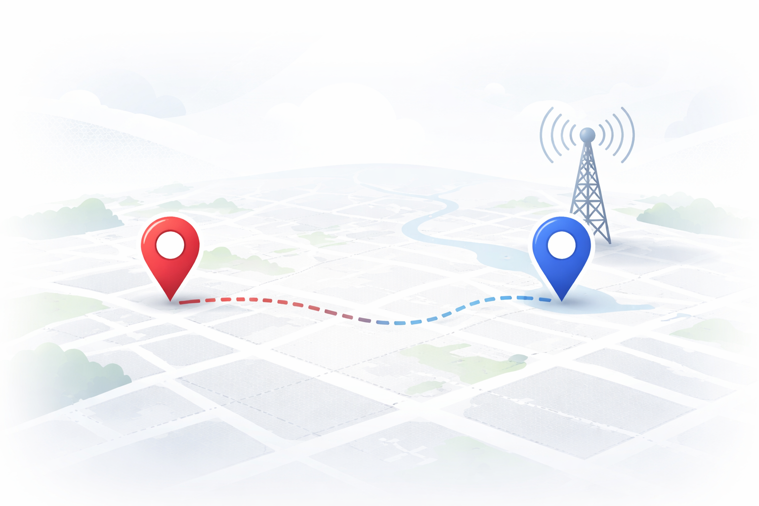
Find the Nearest RTK Base Station — Fast
Nearest Base Finder helps you quickly identify the closest RTK base station to your location and provides the key details you need to connect (distance, location, and base info).
Whether you’re setting up RTK/PPK for drone mapping, checking feasibility for a new site, or just confirming coverage before you roll out — this tool gets you answers in seconds.
RTKUSA Nearest Base Finder
Enter coordinates or use your current location.
Leave blank to use device GPS
Frequently Asked Questions
-
Not always. Proximity is a strong indicator, but local conditions and your equipment setup still matter. Use this as your starting point, then validate in the field.
-
Yes — paste lat/long for the fastest, most accurate lookup.
-
No. It’s helpful for anyone using RTK corrections: drone mapping, surveying, machine control checks, and field verification.
-
This tool will still show the closest options available — and it helps you quickly see whether you may need a different approach (PPK, local base, etc.).
-
Use decimal degrees:
32.7767, -96.7970 (lat, lon)
If you paste something else (DMS, UTM, State Plane), the tool may not recognize it unless you’ve built support for it.
-
That depends on your required precision and workflow. As distance increases, you can see more risk from atmospheric effects and local differences. Use the finder to plan, then verify with check points / known control for critical work.
-
No. This tool helps you identify nearby base options. Fix performance depends on your GNSS setup, view of sky, corrections delivery, and local conditions.